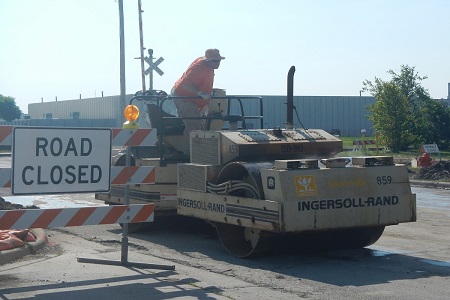
Don't ever hit a bump in the road!
Throughout the course of normal yearly construction, the Department of Public Works uses 1,700 tons of asphalt.
Projects in Naperville
Looking for Something?
We've recently moved many of our development resource pages that used to reside here to another section of the website! Click on the Businesses tab above to find our new Development Resources section, or simply click here to go there now!
From small-scale repair and maintenance like the replacement of a sidewalk square to major development, Naperville is constantly evolving. Learn more about the benefits, timelines and impacts of some of the larger projects the City is undertaking now.
Receive Emergency Notifications
Receive the City of Naperville information that matters to you the most when you want it, the way you want it.
Sign Up for Naper NotifySign up for e-news
Receive the most recent news from the City directly in your e-mail inbox.
SubscribeInside this section
-
248th Avenue Improvement
Planning for improvements to 248th Avenue is underway, with construction planned for 2026.
-
2025 Water Main Replacement Projects
Naperville's Water and Wastewater Utility is working to replace aging water mains in the several locations throughout the City in 2025.
-
5th Avenue Property
Updates and information about the 13 acres of city-owned land along 5th Avenue near the Naperville Metra Station.
-
5G and Small Cell Wireless Facilities
Installation of Small Cell Wireless Facilities to allow for 5G communications is underway in Naperville.
-
87th Street Bridge Replacement
The City of Naperville is replacing the 87th Street Bridge over Spring Brook Creek just east of Plainfield-Naperville Road. Replacement is projected to occur in late 2023 or early 2024.
-
Affordable Senior and Individuals With Developmental Disabilities Housing Project
This project is focused on expanding quality, affordable housing for seniors and individuals with developmental disabilities in Naperville using City-owned property located near the intersection of 10
-
Central Elevated Water Tank Project
The City's Water/Wastewater Utility will be replacing the existing elevated water tank located adjacent to the 5th Avenue Train Station in the 528 E 5th Avenue parking lot.
-
Columbia Street Improvement Project
Planning for improvements to Columbia Street is underway, with construction planned for 2024.
-
Controlled Burning
The City conducts controlled burning throughout Naperville to restore degraded native vegetation sites to a healthy condition.
-
Downtown Streetscape Improvements
Ongoing improvements in Downtown Naperville are part of the multi-year Downtown: Progress in Progress initiative that focuses on continued growth and improvements in the downtown area.
-
Downtown Washington Street Bridge Replacement Project
The Downtown Washington Street Bridge, located between Aurora Avenue and Chicago Avenue, is more than 40 years old and in need of replacement due to its deteriorated condition.
-
Downtown Wayfinding Master Plan
The goal of Downtown Wayfinding Plan is to create a welcoming environment and help guide motorists and pedestrians to their destinations.
-
Electrical Cable Injection Project
The Electric Utility will continue to upgrade aging underground electrical cable in several subdivisions.
-
Longwood Subdivision Sanitary Sewer Rehabilitation
Naperville is contracting with Performance Pipelining, Inc. (PPI) to install cleanouts and rehabilitate sanitary sewer laterals in the Longwood (Scots Plain) subdivision.
-
Lead Service Line Replacement
Naperville is actively engaging in a major initiative to replace all known lead service lines in the City.
-
Road Improvement Plan Update
The Road Improvement Plan is being updated to identify future investments that may be needed to improve the City's intersections and roadways.
-
North Aurora Road Improvement Project
The City has been working on two projects to improve the North Aurora Road corridor between Illinois Route 59 and Eola Road.
